- Home
- Listings
- Sli na Slainte walking route - Ballina
Sli na Slainte walking route - Ballina
Mayo County CouncilÁras an Chontae Castlebar Mayo Republic of Ireland
About this listing
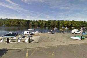
The Ballina Slí is 3.2 Km in length and covers a large catchment area including the town centre, the River Moy, Bunree Road and Abbey Street. Beginning at the UDC offices on Tone Street, you continue until you cross the Upper Bridge across the River Moy. Head away from the town on Abbey Street and take a left onto Bunree Road until you join with the Sligo Road. Here you will have the option of walking to The Quay, which is 1.5Km in length, or returning to Ballina Town. Coming back to the original Slí route you will have the River Moy by your side as you return to the town centre. Crossing the Moy for the second time at the Lower Bridge, walk along Dillon Terrace and turn right towards the Humbert Monument. A left turn will bring you into Market Street where you will pass by your final Km marker. A short distance of 200 m will bring you back to Ballina UDC. Routes can be walked in either direction.